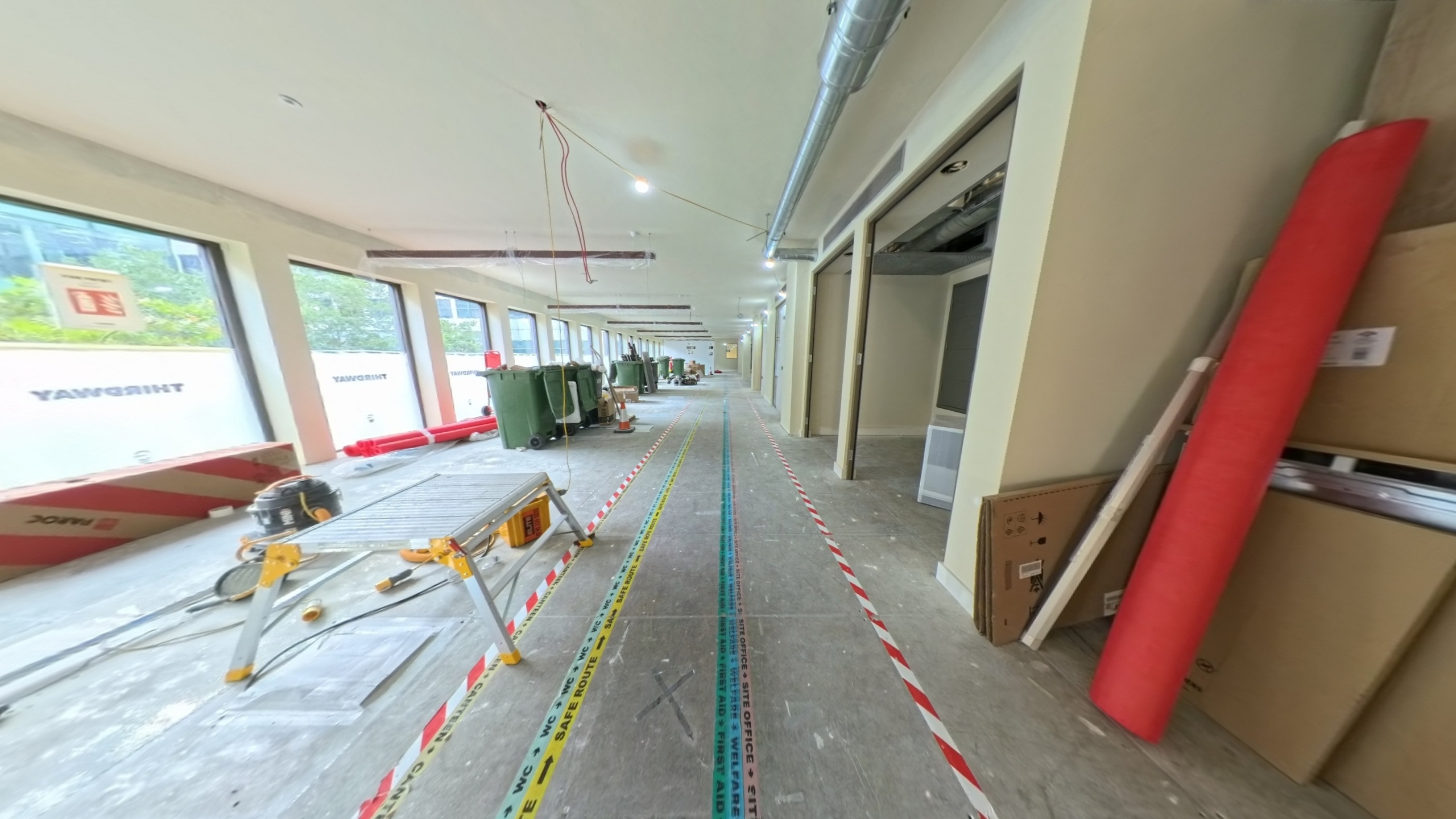
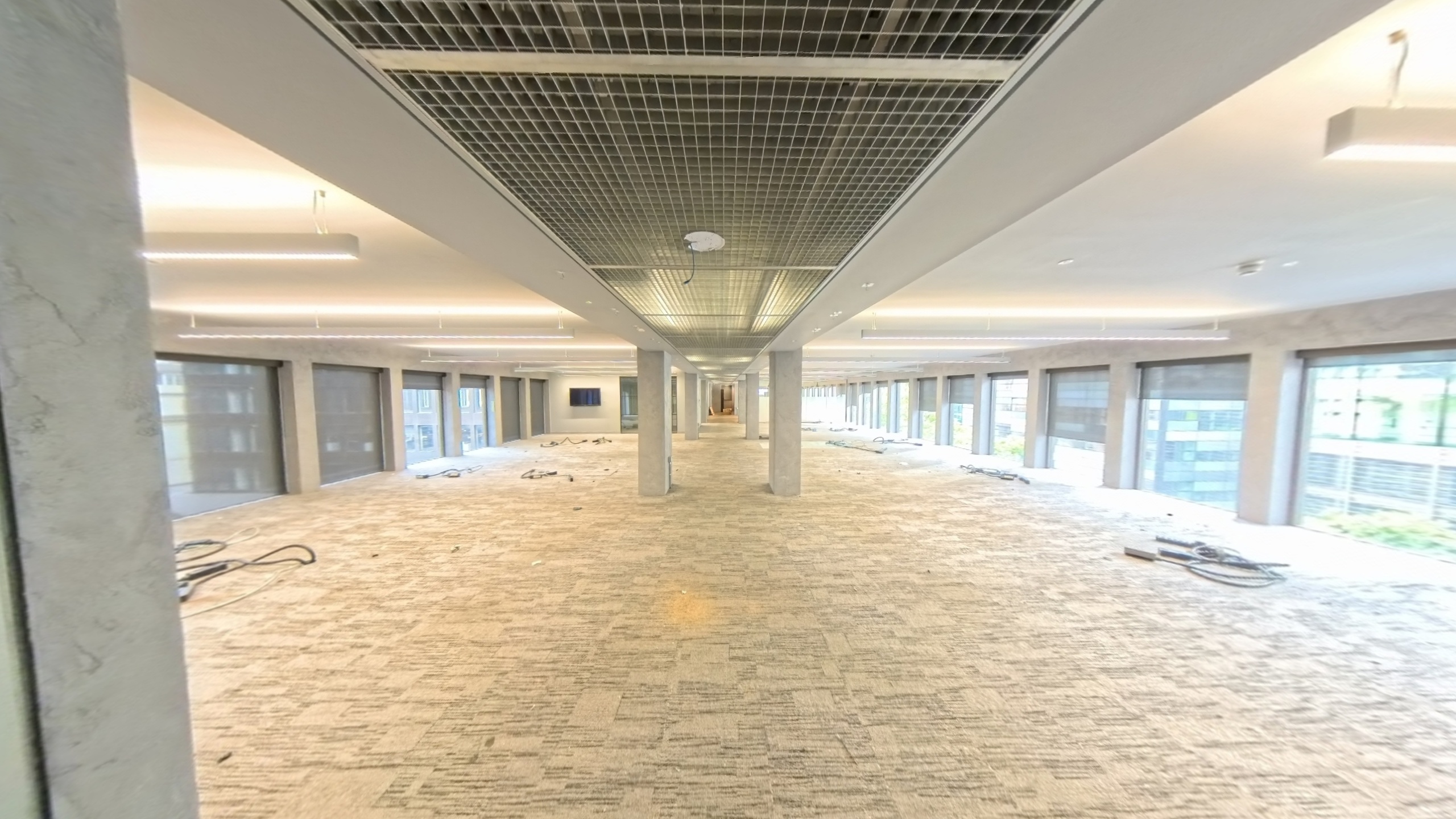
See3D
Denaploy

Partnership Proposal — April 2026

Virtual Tours
for O&M Manuals

Helping Denaploy clients visualise, navigate and maintain their assets — high-resolution 360° scanning delivered alongside every handover package.

denaploy.see3d.ai
Scroll
02 — The Opportunity

O&M documentation is overdue a spatial upgrade.

Today, an operations & maintenance manual is all too often a PDF or a folder of flat drawings stored in the cloud. It describes a building in words — but the people who will operate and maintain that building work in three dimensions.

A virtual tour changes that entirely. Every plant room, roof void and services corridor becomes navigable from any browser or mobile device. Assets are tagged directly in the space. Engineers can locate and identify equipment before they set foot on site. Contractors and design teams share the same spatial context — without leaving the office.

For Denaploy, this is a natural extension of your existing handover package. You already own the client relationship and the documentation brief. See3D provides the spatial layer: a high-resolution, navigable record of the building that ships alongside the O&M manual as a single, unified deliverable — giving your clients something no standard documentation service currently provides at scale.

Virtual tours have been technically possible for years, but O&M providers have largely avoided them due to the prohibitive and ongoing costs of platforms like Matterport. See3D removes that barrier entirely: a predictable one-time fee, no subscriptions, and a permanent digital asset the client owns outright.

134 MP
Panorama resolution per scan point
3–5
Working days from site scan to tour delivery
£0
Ongoing subscription cost to your clients
03 — What See3D Delivers

One scan. Three deliverables.

360° Virtual Tour
A fully navigable, browser-based tour of the building. Hosted on See3D infrastructure — shareable via link or embeddable in any platform including your RIDR portal. Engineers explore every space without stepping on site.
LiDAR 3D Scan
Millimetre-accurate point cloud data of every scanned space. Usable for as-built drawings, Revit BIM updates or clash detection. Delivered as standard across all service tiers.
Downloadable Asset Pack
Raw 16K panoramic images, floor plan exports and schematic overlays — formatted for inclusion in O&M documentation or handover portals. Everything your client needs in a single structured package.
04 — Why Not Matterport

The subscription model is broken
for asset documentation.

O&M manuals need to be useful in year 5 and year 10. A platform fee that never ends is the wrong model for long-lived assets. Here's what three years of Matterport actually costs, versus the See3D approach.

Competitor
Matterport*
Subscription-based — you pay to keep tours accessible
Hardware (Pro3 camera)~£4,995
Business plan — Year 1~£3,700
Business plan — Year 2~£3,700
Business plan — Year 3~£3,700
3-Year Total ~£16,100
Subscription continues even after the project ends
Our Model
See3D*
One-time scan fee per project. No hardware. No recurring cost.
Hardware investment£0 — See3D supplies
Scan fee (5-floor project)£3,750
Hosting — Years 1 & 2Included
Year 3+ hostingOptional / low-cost
Cost model Pay per project
No lock-in. No subscription. No surprise invoices.

* Figures are demonstrative only. Matterport hardware price based on UK reseller listings (survey-tech.co.uk, April 2026); Business plan annual rate reflects Matterport's May 2025 subscription update. Actual costs vary by reseller margin, promotional offers, active-space count and VAT treatment. See3D example based on a 5-floor commercial handover at the standard per-floor rate.

04b — Ownership & Platform

A permanent asset, on infrastructure you control.

See3D uses the Realsee Galois M2, a professional-grade 360° camera that operates entirely outside Matterport's closed ecosystem. Combined with 3DVista Virtual Tour Pro — the industry's leading tour authoring platform — this hardware and software pairing gives clients complete ownership of their deliverables: full-resolution assets, exported files, and a tour that lives on infrastructure they control.

The result is straightforward: a one-time fee, no platform subscriptions, and no recurring costs. Where Matterport charges providers and clients alike for continued access to their own data, See3D hands over a permanent asset on day one. On equivalent projects, this typically means significantly lower cost — without any compromise on output quality. On resolution, See3D's captures match or exceed what Matterport's hardware produces.

The tour itself is also built for longevity. Clickable hotspots within the tour can be connected directly to live data sources — whether that's an existing asset register, a spreadsheet, or a document library. When the underlying data changes, the tour updates automatically. No republishing, no manual edits, no call back to us.

Realsee Galois M2
Hardware — independent of Matterport
3DVista Pro
Tour authoring — exportable, self-hostable
Live-linked hotspots
Spreadsheet-driven; no proprietary editor required
Realsee Galois M2 — 360° LiDAR camera paired with mobile capture app
05 — The Hardware

Realsee Galois M2

For O&M documentation, resolution is a functional requirement — not a luxury. Maintenance engineers need to read asset labels, identify model numbers, locate isolation valves and trace pipe runs directly from the tour. That demands a camera that captures fine detail at distance. The Realsee Galois M2 delivers 16,384 × 8,192 pixel panoramas at every scan point — equivalent to 134 megapixels per image — with an integrated 940 nm Class 1 LiDAR for depth capture.

134 MP
Per panorama (16K)
360° × 155°
LiDAR field of view
0.2–25 m
LiDAR scanning range
±20 mm
Accuracy at 10 m

At this resolution, asset nameplates, serial numbers and warning labels remain legible when zoomed in on screen. That's the detail level O&M users need — and what separates a useful spatial record from a decorative one. Point cloud output: e57, ply. Model formats: obj, fbx, gltf, glb.

06 — Tour Quality
White Heron — Live Tour
Open full screen
07 — How It Works

From brief to integrated O&M asset.

01
Brief
Scope agreed — floor count, access, delivery format
02
Planning
Scan points mapped, site logistics confirmed
03
Site Scan
Galois M2 — 134 MP + LiDAR per scan point
04
Editing
Tour stitched, wayfinding set, hotspot shells placed
05
Asset Delivery
Images, floor plans and point cloud exported
06
O&M Integration
Tour link added to Denaploy handover pack
07
Hosting
Tour live on See3D servers — accessible indefinitely
On hotspot tagging: See3D covers the photography, tour build and hotspot placement (step 04). The asset data itself — equipment descriptions, datasheet links, service dates, responsible contractor — is populated by whoever best knows the build: typically Denaploy or the main contractor, via the live-linked spreadsheet described in section 07b. Because the sheet drives the tour, no 3DVista licence or tour-editor familiarity is needed to keep the O&M data current. Exact scope of data-entry responsibility is agreed per project.
07b — How the Hotspots Work

The tour is a shell. The data lives in a spreadsheet.

01
See3D delivers the tour shell
Hotspots are placed at every asset location — plant, valves, DBs, AHUs, fire panels. Each hotspot is an empty container waiting for data.
02
See3D sets up the live-linked spreadsheet
An Airtable / Google Sheet is wired to the tour with standard columns: asset name, description, document links, service dates, responsible contractor, warranty period, location reference.
03
Denaploy or the main contractor populate the sheet
Data entry only — in a tool the team already knows. No 3DVista licence required, no bespoke software, no training on a proprietary editor. The people closest to the build populate it.
04
The tour self-populates from the sheet
Update a cell, the hotspot updates. Swap a datasheet link, the tour serves the new one. No republishing, no call back to See3D, no version drift between the manual and the model.
Net effect

Your deliverable is the tour framework. The O&M knowledge transfer happens in a Google Sheet, not inside proprietary tour software. Nobody needs a 3DVista licence. Nobody needs to understand the tour's internals.

This is also why See3D can hand over a permanently offline copy on request — the tour, the images, the point cloud, and the linked asset data can be exported together as a static package. Clients with air-gapped security requirements can host the deliverable on their own infrastructure.

08 — Service Tiers

Choose the level of involvement that fits your workflow.

Scan Only
Scan Only
See3D delivers the scan output. Denaploy integrates it into the handover package in whatever format suits the project.
See3D provides
  • Site scan — all floors, all scan points
  • Processed virtual tour + hosted link
  • Raw 16K panoramic images
  • LiDAR point cloud (.e57 / .las)
  • Embed code for any platform
Denaploy team
  • Integrates tour link into O&M manual
  • Co-ordinates site access with contractor
  • Manages client relationship throughout
Most Popular
Scan + Template
See3D delivers a tour with a branded landing page and asset-tag overlay — designed to sit alongside the O&M documentation as a unified deliverable.
See3D provides
  • Everything in Scan Only
  • Branded tour landing page
  • Asset tags linked to manufacturer datasheets
  • Exportable floor plan with scan point map
Denaploy team
  • Provides manufacturer literature for tagging
  • Reviews and approves asset tag content
  • Adds tour landing page to handover pack
Full Service
Full Service
A fully co-ordinated, white-label delivery where the virtual tour presents as a seamless component of the Denaploy handover.
See3D provides
  • Everything in Scan + Template
  • White-label subdomain for the end client
  • Contractor liaison and access co-ordination
  • Post-handover tour update within 12 months
  • Priority support SLA
Denaploy team
  • Issues purchase order to See3D
  • Presents tour to end client at handover
09 — Pricing

Simple, transparent, per-project.

£750
per floor level — all scan points included (subject to cap)
Scan points per floorIncluded up to agreed cap
Processed virtual tour + hostingIncluded
LiDAR point cloud + raw imagesIncluded
Travel — Greater LondonIncluded
Travel — outside Greater LondonQuoted separately
Advance booking (UK-wide travel)Required
Subscription / recurring feeNone
Worked example — 5-storey building
Tour fee (5 × £750)£3,750
Denaploy referral (Year 1, 20%)£750  (£150 per floor)

Rates are indicative and subject to change depending on project complexity, number of scans required per floor, and overall building size. A cap applies on maximum scans per floor — larger or more complex spaces are scoped and priced individually. Referral fee returned to Denaploy per agreed structure.

09b — Two-Scan Package

Before and after — when early engagement allows it.

If Denaploy is brought in at the point of procurement — before works begin — See3D can deliver two scans instead of one: a pre-works condition survey and a practical-completion handover scan. The same site, twelve months apart.

Pre-works
Condition Survey Scan
Captured before the main contractor takes possession. A defensible, time-stamped record of the building's existing condition — every wall, ceiling, service run and finish. Stands independently as a dilapidations protection deliverable for the main contractor, regardless of the O&M outcome.
  • Protects against end-of-lease dilapidations disputes
  • Baseline for damage attribution during the works
  • Standalone value for the main contractor
At handover
Practical Completion Scan
The primary O&M deliverable — captured at practical completion, tagged with asset data, and integrated into the Denaploy handover package. Exactly as scoped in the Service Tiers.
  • Feeds directly into the O&M handover pack
  • Hotspots live-linked to the asset data sheet
  • Permanent digital twin for the end client
Bonus — before-and-after content
The two scans together produce compelling side-by-side promotional material for both Denaploy and the end client. A framed, defensible record of the transformation — useful for case studies, marketing, and stakeholder reporting.

Framed as a two-scan package — a natural upsell when the commercial timeline allows early engagement. Priced per scan at the standard per-floor rate, with a combined-package discount available when both scans are booked at commitment.

10 — Referral Structure

A long-term partnership,
not a one-off arrangement.

The referral fee rewards Denaploy for introducing See3D at the point of project brief — without adding administrative complexity. Fees are calculated on the net scan invoice and settled within 30 days of See3D receiving payment from the end client.

Referral — Year 1
20%
of net scan invoice value
Example: £3,750 project (5 floors)
Referral fee: £750  (£150 per floor)

No upfront costs. No volume commitments. No exclusivity required. Either party may terminate with 30 days' written notice. The arrangement is designed to grow naturally alongside your project pipeline — longer-term commercial terms reviewed together as volume builds.

11 — Hosting & Longevity

Built to last as long as the building does.

See3D Infrastructure
Tours are hosted on See3D's own servers — not a third-party platform that could change pricing or be discontinued. The tour URL is permanent and always resolves correctly.
Year 3 and Beyond
Hosting is included for the active project lifecycle. After year 2, clients move to a low-cost annual arrangement or download all assets and self-host. Nothing is locked in.
Data Portability
Raw panoramic images and point cloud data are delivered as standard. Your clients own their data outright — all source files remain in their possession regardless of hosting arrangement.
The tour outlasts the project team.
An O&M manual needs to be useful in year 5 and year 10, not just at handover. See3D tours are browser-based, device-agnostic and require no installed software. A facilities manager in 2031 can open the same link and navigate the building exactly as it was scanned on handover day.
99.9%
Target uptime SLA
11b — Payment & Commercial Terms

Purchase order on commitment. Invoice on delivery.

A clean commercial handshake — no retainer, no up-front scan fee, no chasing. See3D starts work against a confirmed PO and invoices only once the deliverable has been accepted.

01
Purchase order issued
Denaploy raises a PO against the agreed scope (floor count, scan tier, any two-scan package terms). The PO locks the price and confirms See3D to mobilise site logistics.
02
Site scan & production
See3D attends site, captures the scan, processes the tour, and packages the deliverables — raw panoramic images, LiDAR point cloud, floor plan exports, tour link.
03
Deliverable review
The tour and asset pack are forwarded to Denaploy in the agreed format. Denaploy reviews and confirms acceptance — any scoped revisions are carried out before invoice.
04
Invoice — 30 days net
Invoice issued on acceptance; payment due within 30 days. Referral fee to Denaploy settled within 30 days of See3D receiving payment from the end client.

No subscription, no hosting lock-in, no retrospective charges. Commercial terms mirror the way Denaploy already invoices its own clients — the scan slots into the existing handover workflow without a new billing motion.

12 — Next Steps

Three things to move this forward.

1
Agree service tier
Confirm whether Scan Only, Scan + Template or Full Service best fits your current client workflow. We can trial more than one tier across the pilot project.
2
Select a pilot project
Identify one live or upcoming handover where a virtual tour adds clear value. Ideally a multi-floor project — but any size works as a first run.
3
Schedule a call
30 minutes is enough to agree scope, walk through the workflow and confirm the referral arrangement in writing. We move fast once a brief is confirmed.
Ollie Hardy
See3D — Founder & Director